


وللرد على تلك المقولة نوجز مايلى :
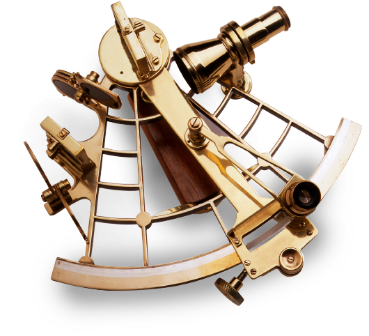
ولحل هذه المعضلة فإن العديد من برامج الحواسب المتوفرة يتطلب فقط أن يقوم الملاح برصد النجوم أو الكواكب وإدخال البيانات للحصول على الموقع المرصود الأكثر إحتمالاوبالتالى يمكن تلخيص الحل فى أن يتم تدريب الملاحين على ضبط وإستخدام السدس البحرى
بالطبع يمكن الحصول على الموقع الحسابى للسفينة بإستخدام خريطة الإبحار أو تحليليا بإستخدام المعادلات التالية
d. Lat. = dist. Cos T.Co.
dep. = dist. Sin T.Co.
d. Long. = dep. / Cos (mean Lat.)

ويجب التنويه إلى أن هذه البرامج متاحة لأبنائى و زملائى الضباط البحريين كعلم ينتفع به.وهذا ماإتفق عليه فريق العمل أنا والسيد المهندس/ إسلام بدوى الذى قام بتصميم هذه البرامج والأبن العزيز / أحمد عادل الذى صمم الرسومات المطلوبة.